The Caribbean is gearing up for Hurricane Erin, which has now escalated to a Category 4 storm. Tropical storm conditions are looming over the Turks and Caicos Islands and the southeastern Bahamas.
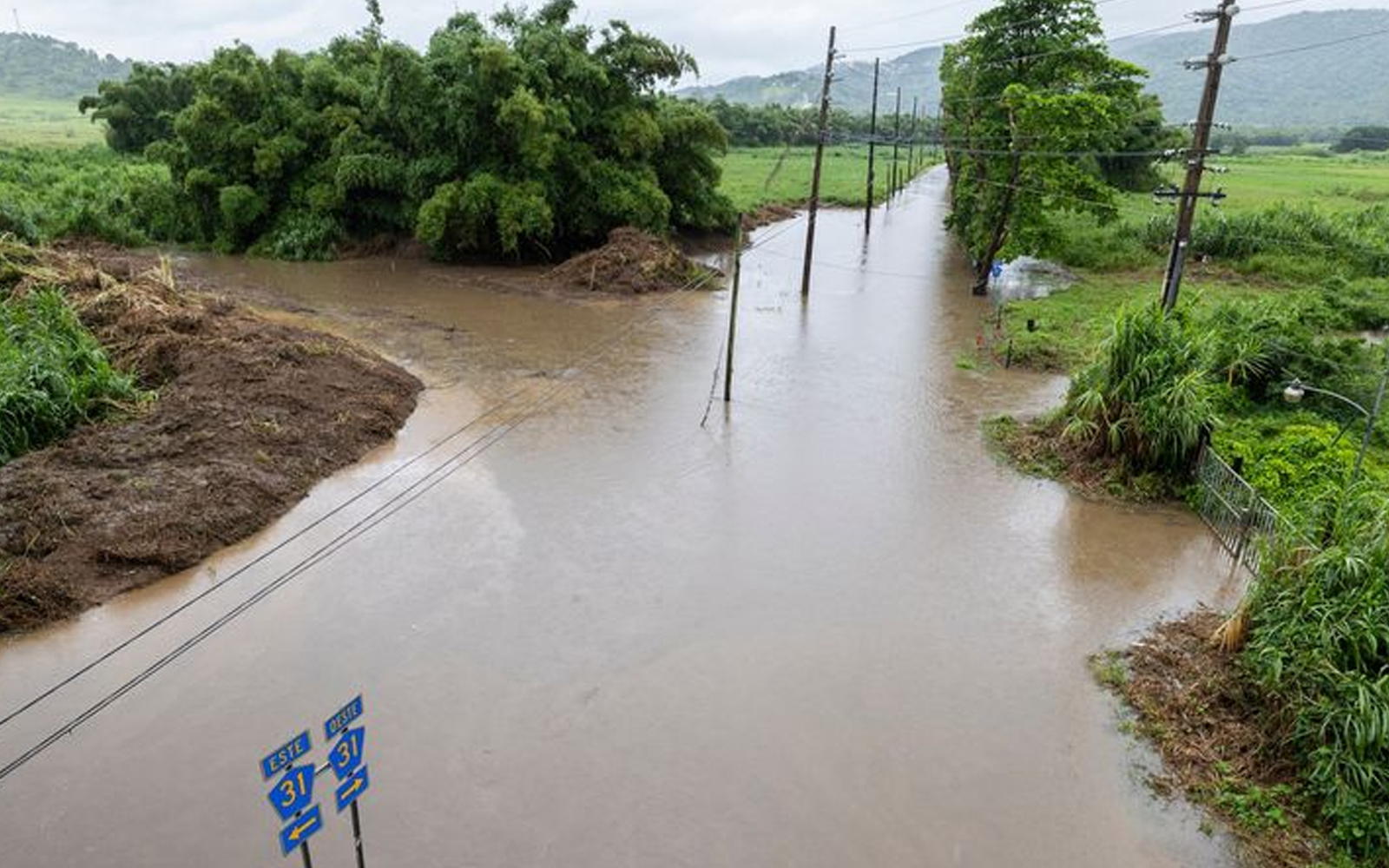
On Sunday evening, Erin transformed into an “extremely dangerous” hurricane, boasting maximum sustained winds of 215 kilometers per hour (134 mph), as reported by the Associated Press and AFP. Forecasters are warning that the storm could intensify even further in the next 12 hours, bringing heavy rains that could lead to flash floods and landslides.
The National Hurricane Center (NHC) in Miami anticipates that Erin will gradually weaken later this week, but they caution that it will continue to grow in size and remain a “large and dangerous hurricane” at least through midweek.
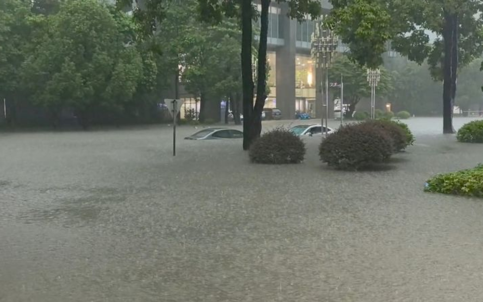
As of 11:00 p.m. local time on Sunday, the storm’s center was situated about 205 kilometers (127 miles) east of Grand Turk. Earlier in the day, outer bands had already battered parts of Puerto Rico and the U.S. Virgin Islands, leaving around 147,000 customers without power, according to Luma Energy. More than 20 flights were canceled, but the U.S. Coast Guard has since reopened all ports in Puerto Rico and the Virgin Islands as conditions improved.
Erin marks the first Atlantic hurricane of the season. Over the weekend, it briefly reached Category 5 status with winds of 260 kilometers per hour (162 mph), just over 24 hours after it intensified from Category 1. Scientists point out that such rapid intensification events are becoming more frequent, a trend linked to global warming.